English (United Kingdom)
  Russian (Russia)
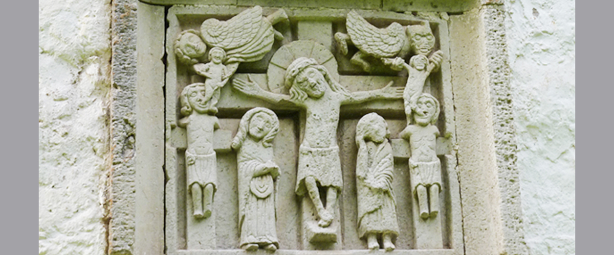
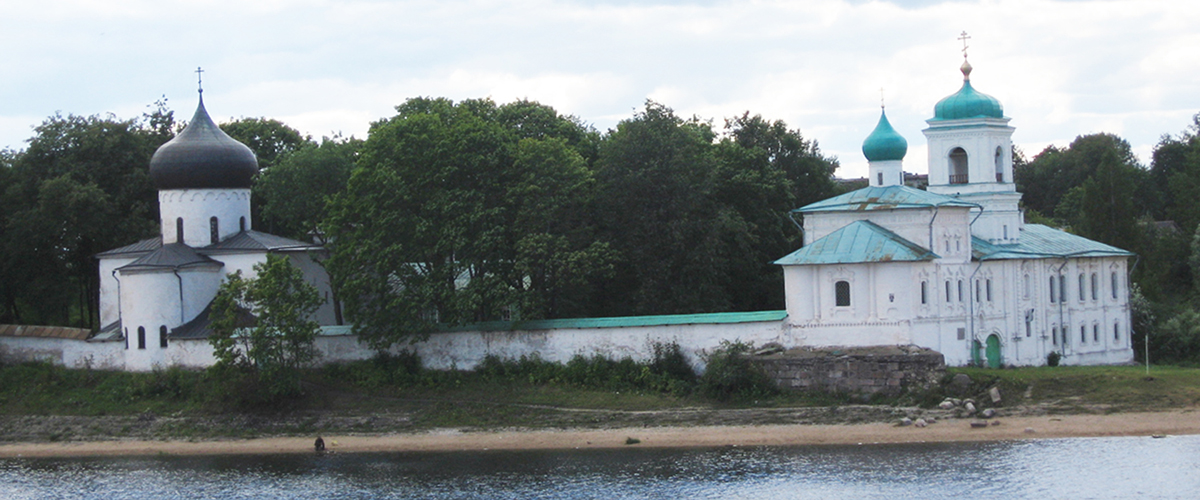

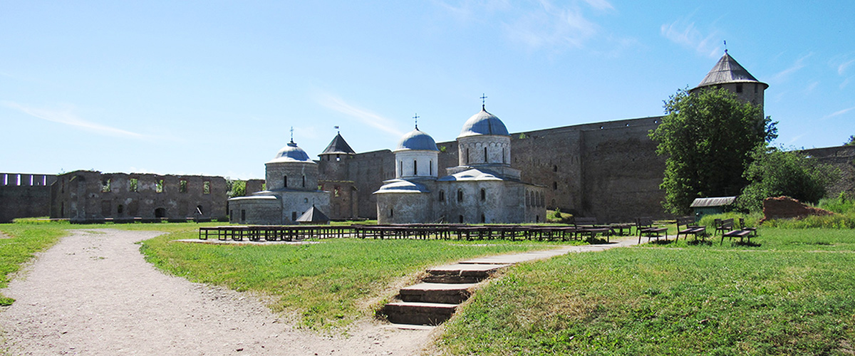
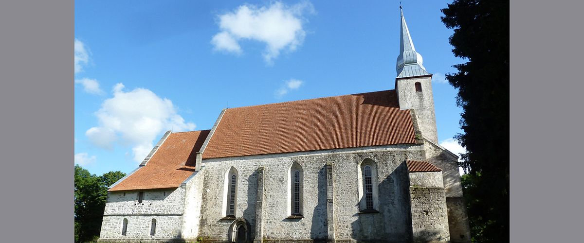
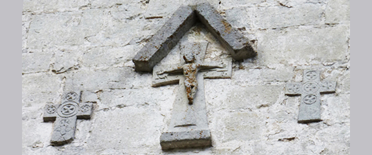

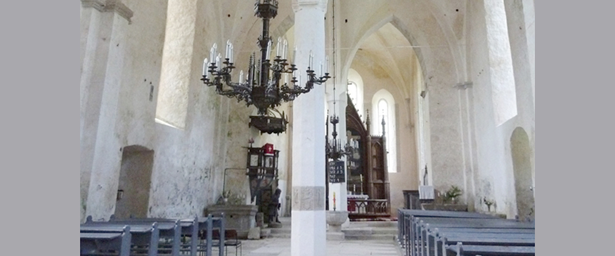
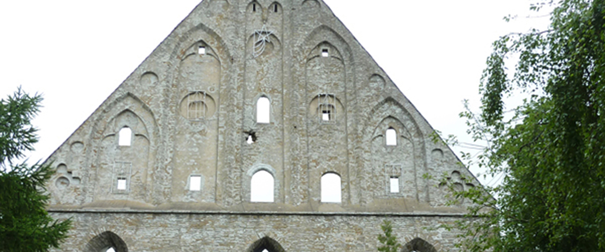


This section presents in cartographic form materials from the database on holiness of the 11th—14th centuries in the North-West of Russia, the northern lands of the Grand Duchy of Lithuania, the Kingdom of Poland, Prussia and Livonia.
The project participants create a database containing information about churches, cathedrals, saints and heroes mentioned in sources. Today the database includes more than 1200 items. The base covers the period from 11 to 14 century.
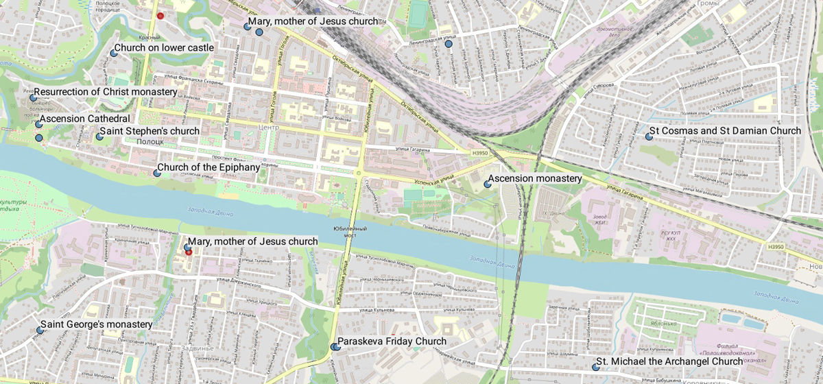
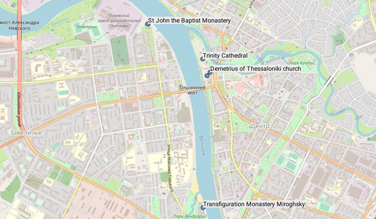
The site contains screenshots that allow presenting preliminary results of the work.
Map 1. Points of congestion of churches in the study area: North-West of Russia, the northern lands of the Grand Duchy of Lithuania, the Kingdom of Poland, Prussia and Livonia in the 10-14 centuries
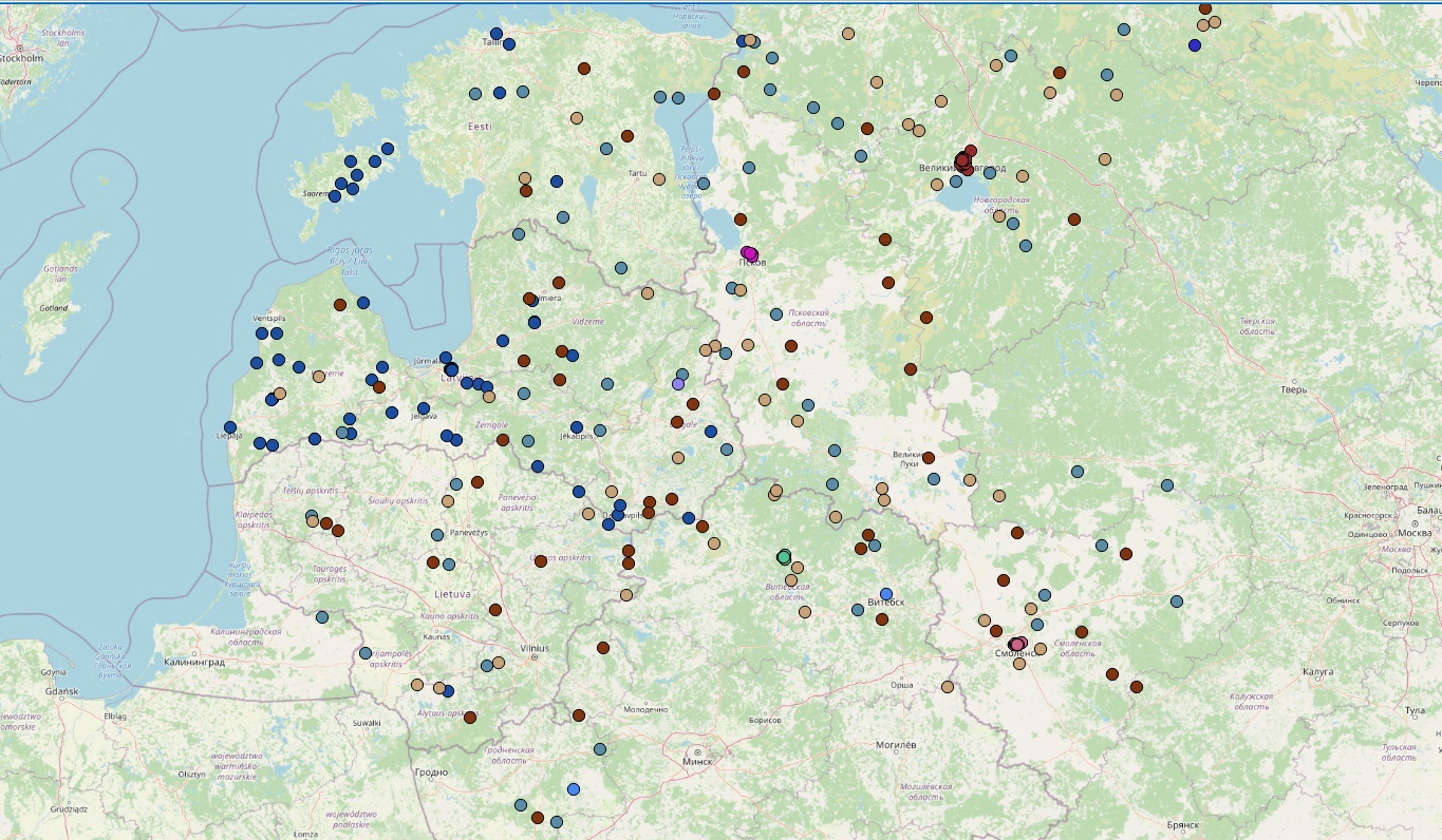
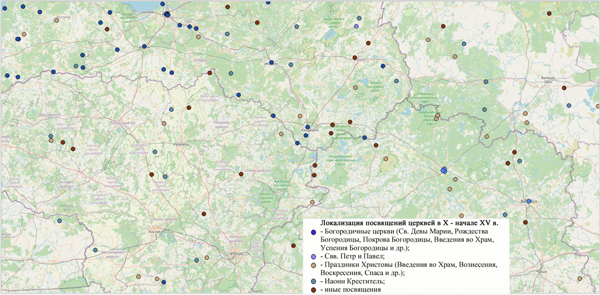
Map 2. Localization of initiations in the 10-14 centuries
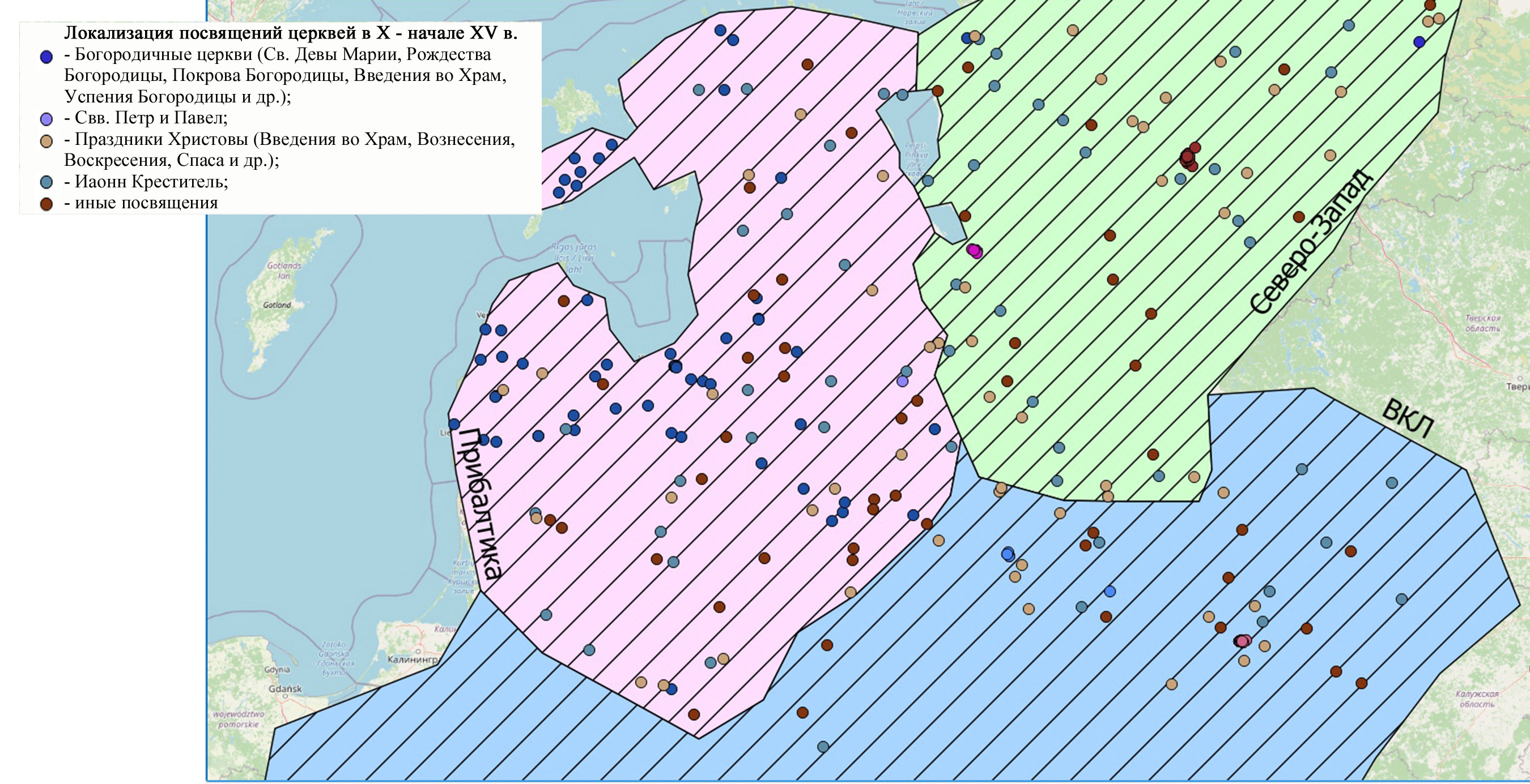
Map 3. Localization of initiations in the 10-14 centuries within the regions
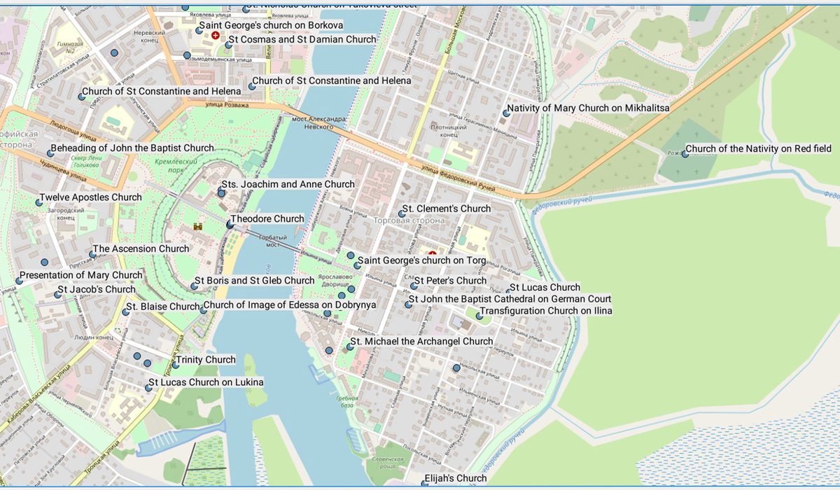
NOVGOROD
12 century
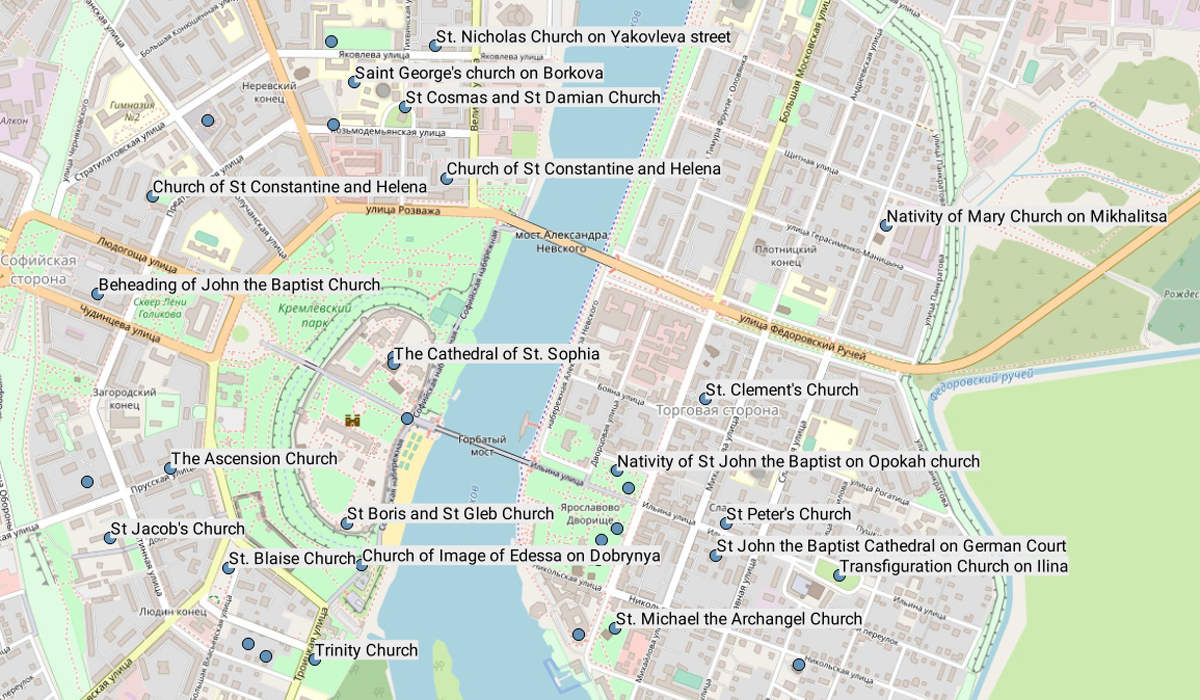
14 century
POLOTSK
11-14 centuries
PSKOV
12 century
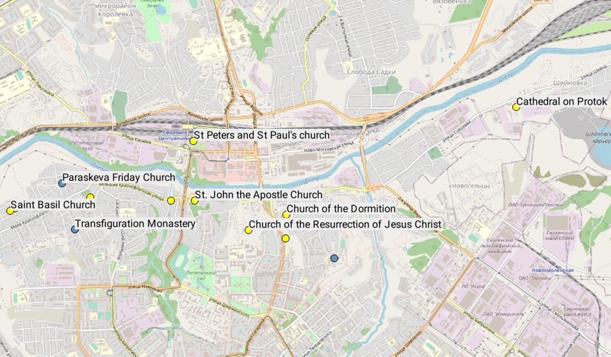
SMOLENSK
10-14 centuries